Horizon GmbH
PHOTOGRAMMETRY & REMOTE SENSING
Read More
Horizon GmbH
Terrestrial and Close-Range Photogrammetry
Read More
Horizon GmbH
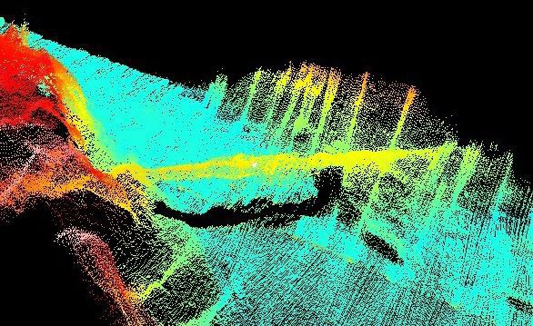
Underwater Photogrammetry and Subsea Metrology
Read More
Horizon GmbH
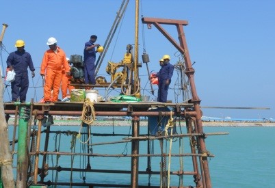
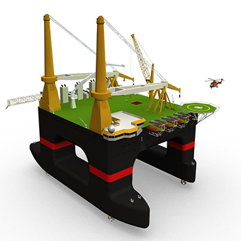
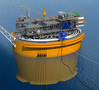
Offshore Services
Read More
Horizon GmbH
DESIGN & ENGINEERING CAPABILITIES
Read More
Horizon GmbH
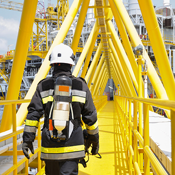
MARINE/OFFSHORE/INDUSTRIES RISK ASSESSMENT
Read More
Horizon GmbH
INNOVATION / COST SAVING
Read More
Horizon GmbH
HEALTH SAFETY & ENVIRONMENT (HSE) AUDITS
Read More
Horizon GmbH
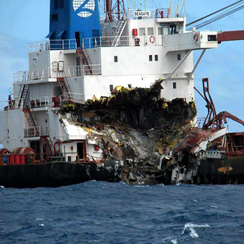
MARINE CASUALTY INVESTIGATIONS
Read More
Horizon GmbH
INSURANCE
Read More
Horizon GmbH has been registered in City of Dusseldorf as one of the top class professional German company, with the aim to provide high quality services to onshore and offshore Oil & Gas, Marine Infrastructure Development sectors, Port and Shipping Organisation, Energy Sector & Agriculture industry with proven technology, cost effective and innovative solutions.
Horizon GmbH & the partners developed an enviable track record of executing complex projects successfully across geographies. Horizon GmbH specializes in undertaking various kinds of Photogrammetry Surveys, Geophysical Surveys,Positioning, Geotechnical Soil Investigation, Subsea Services, ROV services, Construction Support Services, Vessel/Rig management and marine construction projects.
Underwater Photogrammetry and Subsea Metrology
Terrestrial and Close-Range Photogrammetry
PHOTOGRAMMETRY & REMOTE SENSING
OFFSHORE SERVICES
DESIGN & ENGINEERING CAPABILITIES
MARINE/OFFSHORE/INDUSTRIES RISK ASSESSMENT
INNOVATION / COST SAVING
HEALTH SAFETY & ENVIRONMENT (HSE) AUDITS
MARINE CASUALTY INVESTIGATIONS
Activities
SURVEY
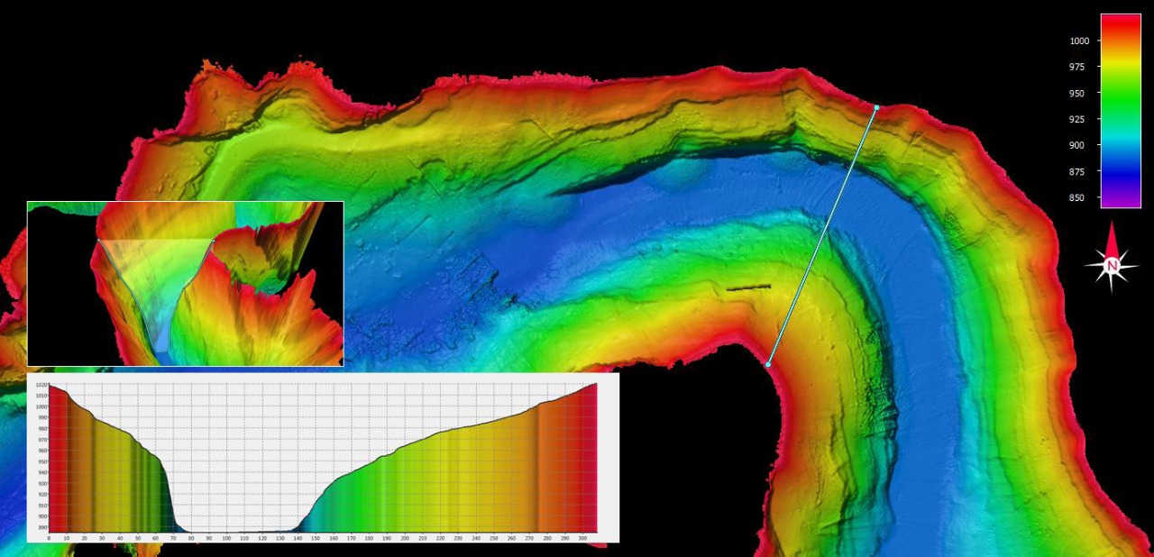
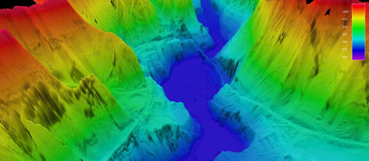
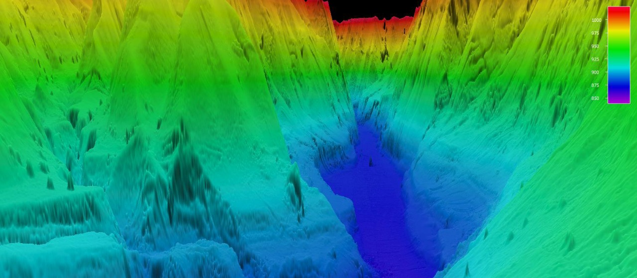
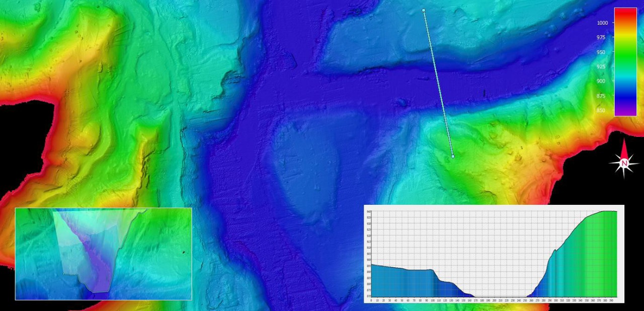
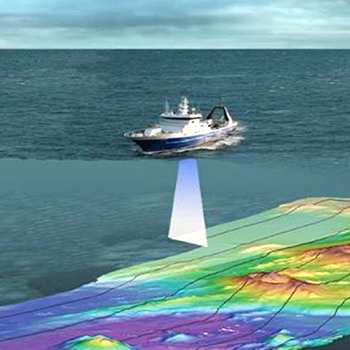
Hydrographic and Engineering Surveys
Geophysical Site & Route Surveys
Anchor Clearance (Hazard) Survey
Hydrographic (Seabed mapping) Survey
Dredge monitoring surveys
Unexploded ordnance surveys
Metocean studies
POSITIONING SURVEY SERVICES
Rig move and positioning survey services
Vessel and barge positioning
Positioning support for diving activity
Construction support services
Precise Pipelay positioning, shore pulling and cable lay support
Spool piece metrology
Diver tracking
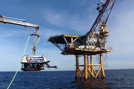
ROV SURVEYS
As-Laid & As-Built ROV Surveys
Pipeline and Platform Inspection Survey
Debris Surveys (including removal)
Touchdown Monitoring
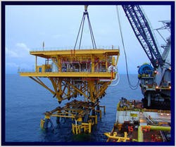
Jacket Installation
Spool / Riser Inspection Survey Services
GEOTECHNICAL INVESTIGATION
Offshore geotechnical investigation
In-situ testing
SPT & CPT
Foundation engineering recommendations
Jack-up rig stability
Punch through analysis
MARINE CONSTRUCTION
Near shore and surf zone trenching
Diving & subsea video inspection
Marine construction
Intertidal & beach pre-trenching
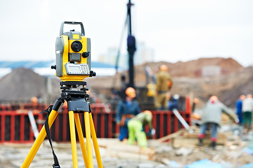
LAND SURVEY
Topographic Survey by Total Station and GPS RTK system
Establishing Bench Mark
Settlement monitoring by precise digital level
Control point establishment by combination of DGPS and Total Station