Underwater Photogrammetry and Subsea Metrology

LBL Acoustic Metrology

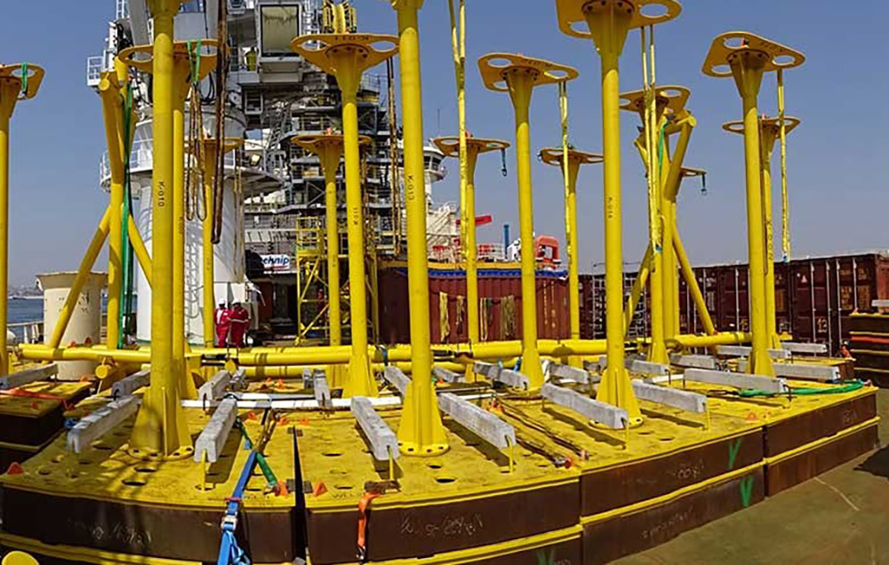
Horizon GmbH offers fast delivery of high-accuracy acoustic metrology using the latest LBL data acuisition and processing technologies in order to providing LBL Metrology services. Because of advantages such as flexibility, adaptability and online processing LBL is most commonly technique to provide many applications in the offshore survey services.  With state-of-the-art LBL metrology technology, Horizon GmbH provides a complete production workflow to support the following fields of application (but not limited to):

– Spool pieces’ metrology

– Provision of ISO drawings

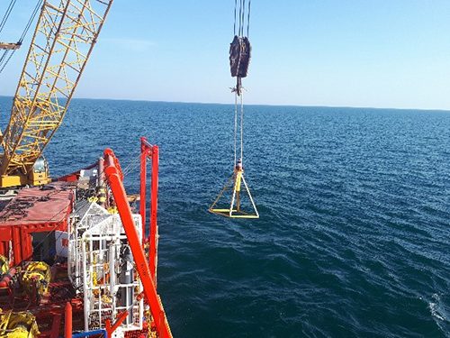
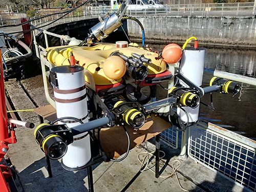
– High accuracy subsea installation and ROV tracking

– LBL Array Design and planning

– Provision of precise acoustic underwater positioning


Generally, LBL Acoustic Metrology is consisting of below items:

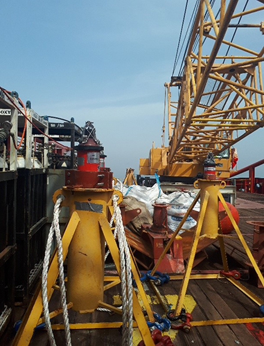
Fabricated bracket and tripod for deploying LBL Equipment

Nominated Metrology and Positioning equipment (e.g. fusion 6G)

Navigation and Monitoring equipment (main navigation and related navigation and positioning software)

“Horizon GmbH Is Well Experienced In Providing the LBL Metrology for purpose of subsea structure metrology and precise underwater positioning”

Subsea Photogrammetry Metrology

Horizon GmbH offers fast delivery of high-accuracy Subsea Photogrammetry using the latest subsea data acquisition and automated processing technologies in order to providing inspection services of subsea structures. Recently photogrammetry has been used in subsea metrology. The basis of photogrammetry is to use triangulation to build a three dimensional model based on a sequence of two dimensional pictures.  By taking photographs from at least two different locations, so-called “line of sight” can be developed from each camera to points on the objects. These line of sights or rays are mathematically intersected to produce the three dimensional co-ordinates of the points of interest.  Horizon GmbH can provide a complete production workflow to support the following fields of application (but not limited to):

  • 3D as built CAD Modeling of Manifold, pipes, valves, flanges,
  • Spool Pieces Metrology
  • Periodical and one time inspections of Pipes, Anodes, mooring chains, flex joints and etc.
  • Manufacturing control of Spools, Flanges and connectors.

Subsea LiDAR Metrology

Horizon GmbH offers fast delivery of high-accuracy Subsea LiDAR Metrology using the latest subsea data acquisition and automated processing technologies in order to providing inspection services of subsea structures. Subsea LiDAR Metrology has revolutionized the capability to perform mobile metrology operations in a timescale previously unattainable. The subsea LiDAR Metrology can be used in dimension control of subsea structures and onshore construction components.  In comparison to traditional metrology methods it has less operational time and also its accuracy in modeling of subsea structures is high. Horizon GmbH can provide a complete production workflow to support the following fields of application (but not limited to):

  • Deformation analysis of subsea structures
  • Fabrication verification surveys for steelwork and pipe
  • Dimensional control of FPSO, Jackets, Platforms and etc.

Generally subsea LiDAR metrology is consisting of below items:

Fabricated tripod and brackets for deploying subsea LiDAR

Nominated subsea LiDAR according to proposed services

Registration targets

Processing software and unit

A photogrammetric Subsea survey method generally consists of following equipment:

  • Camera system
  • Deployment basket with metrology marking equipment
  • Inclinometer
  • Depth sensor
  • Processing PC and software

­­