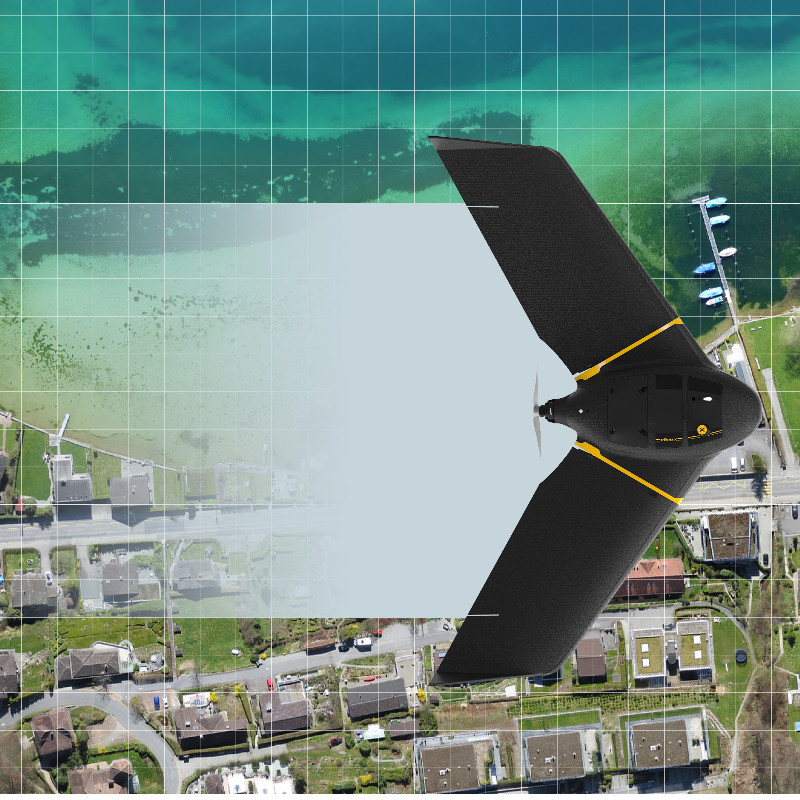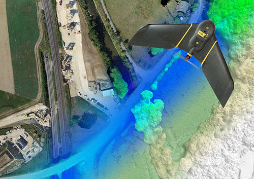
Horizon GmbH offers fast delivery of high-accuracy aerial photogrammetry using the latest airborne data acuisition and automated processing technologies in order to generate acuurate two-dimensional and three-dimensional data from drone images and to produce survey-grade deliverables. With state-of-the-art photogrammetric engineering and remote sensing (PE&RS) technology, Horizon GmbH provides a complete production workflow to support the following fields of application (but not limited to) with increased productivity, accurate results, and updated maps and terrain models:
- Land Surveying
- Geospatial Information System (GIS)
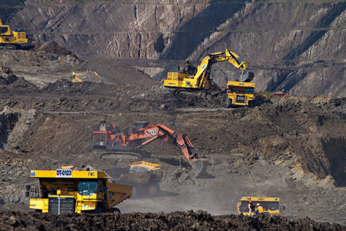
- Mining and Aggregates
- Planning and Design
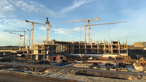
- Construction
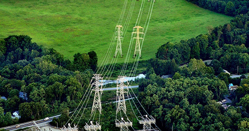
- Infrastructure and Asset Management