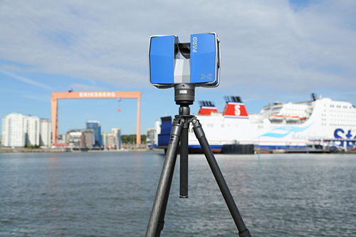
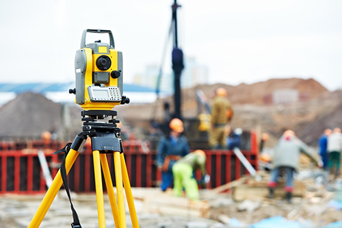
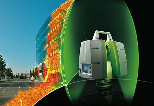
Horizon GmbH offers fast delivery of high-accuracy terrestrial and close-range photogrammetry using the latest terrestrial data acuisition and automated processing technologies in order to generate survey and lean engineering solutions. With state-of-the-art photogrammetric engineering and remote sensing (PE&RS) technology, Horizon GmbH provides a complete production workflow to support the following fields of operation:
- Laser Scanning
- Dimensional Control
- Land Surveys