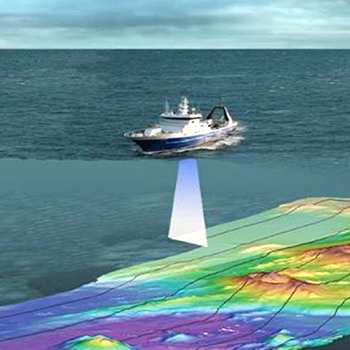

Horizon GmbH is a dynamic company that offers a total solution to all near shore & offshore survey requirements. Geophysical Survey is the science of measurement and description of features which affect Maritime Navigation, Marine Construction, Dredging, Offshore Oil Exploration Drilling and related disciplines. This includes all facts of project management including; desktop studies, survey planning, data acquisition, sediment sampling, data interpretation, ore reserve calculations, map generation and report writing. Undertaken for collecting Subsea information like Water Depth, seabed profile/mapping etc. used in making Hydrographic Charts, and construction support services etc. Survey data can also be used in identifying manmade obstructions, seabed hazards.
All tasks are performed in-house which facilitates quick turnaround times on all projects. The combination of experience, expertise and innovation creates a formidable survey team.
Horizon GmbH also owns and manages Geophysical Vessel, which is fully mobilized to perform all type of Geophysical Survey Projects.
- Offshore pipeline and cable route surveys
- Pre – Engineering Survey
- Pre-Installation Survey
- Post Lay Survey
- Debris Clearance Survey
- Free Span Detection
- As-Built Survey
- LBL Metrology
- Seabed Sampling with Drop Core and Grab Sampler
- Seismic Survey
- Topographic Land Survey